Around the stones
The landscape
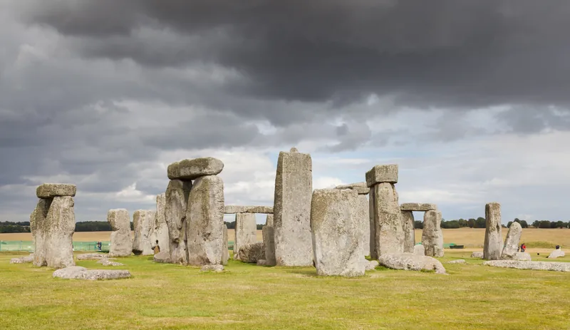
Today, together with Avebury, Stonehenge forms the heart of a World Heritage Site, with a unique concentration of prehistoric monuments.1 The property area given on the UNESCO page is 5,152.39 ha.2 UNESCO calls Stonehenge and Avebury, in Wiltshire, among the most famous groups of megaliths in the world.2
Hundreds of burial mounds are raised in the Stonehenge landscape for rich, individual burials, forming the densest concentration of burial mounds in Britain.3
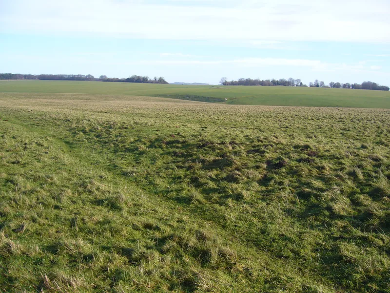
The earthwork Avenue was also built at this time, connecting Stonehenge with the river Avon.1
From about 2400 BC, well-furnished Beaker graves such as that of the Amesbury Archer are found nearby.1
Some of the bluestones are likely to have previously stood in a stone circle on the bank of the river Avon at West Amesbury henge, 1 mile (1.7 km) to the south-east.4
There were two original entrances to the enclosure: a wide one to the north-east and a smaller one on the southern side.5
From 1927, the National Trust began to acquire the land around Stonehenge to preserve it and restore it to grassland.1
In 2013 the road which ran close to the stones is closed. A new visitor centre is built 2 kilometres away from the monument.3
This is history information only. It is not a visitor guide, and it is not affiliated with English Heritage or the National Trust.